The Put Vehicles layer displays the positions of public transport vehicles on the map.
They can be monitored in real time or at a scheduled time.
If the icons of the vehicles are not shown on the map, make sure that the layer is active and disable all available filters.
If the PuT Lines layer is also active, the public transport vehicles located on public transport lines become visible.
For every vehicle, you can see:
-
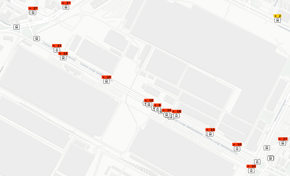
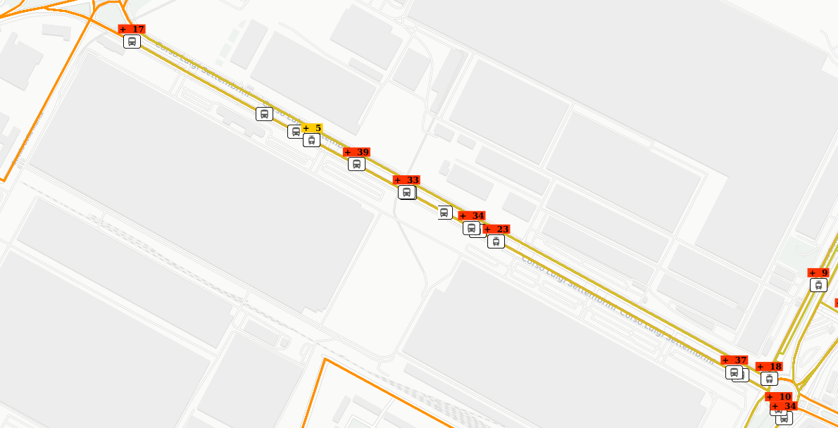
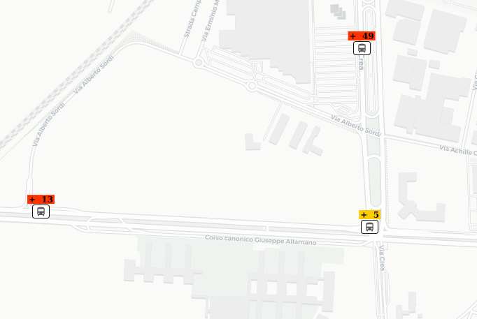
A number indicating the minutes of delay of the vehicle.
-
A color related to the intensity of the delay (YELLOW or RED):
-
YELLOW: 0<delay<=5 minutes
-
RED: delay>5 minutes
-
By clicking on a vehicle icon, you get the details related to the vehicle:
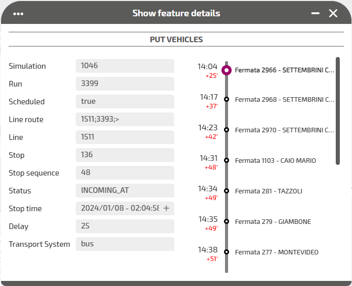
| Attribute | Description |
|---|---|
|
Simulation |
Identifier of the current simulation. |
|
Run |
Identifier of the run. A run may be associated to any vehicles. |
|
Scheduled |
Boolean parameter used to handle the monitoring of vehicles.
|
|
Line route |
Identifier of the line route |
|
Line |
Identifier of the line |
|
Stop |
Identifier of the next stop |
|
Stop sequence |
Identifier of the stop order for the related run. The values must increase along the trip but do not need to be consecutive. EXAMPLE The first location on the trip could have a stop_sequence=1, the second location on the trip could have a stop_sequence=23, the third a stop_sequence=40, and so on. |
|
Status |
The current status of the vehicle. The possible values are:
|
|
Stop time |
The planned time for the vehicle stop, associated to the Stop |
|
Delay |
Delay of the vehicle, measured in minutes and compared to the planned Stop time |
| Transport System | Type of public transport vehicle |
- Select the layer in the ACTIVE LAYERS list.
- Click the
 List icon.
A pop-up window with a list of items opens. Every item represents a public transport vehicle which is characterized by a set of attributes.
Other operations are available for the layer (→ Operations on layers).