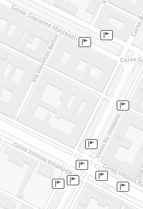
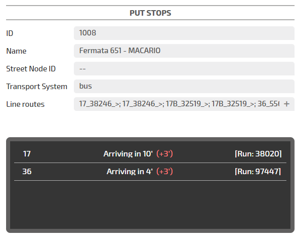
The Put Stops layer displays the public transport stops where people can access the public transport vehicles.
If you activate the PuT Lines layer, you can see the stops that are associated with the public transport lines.
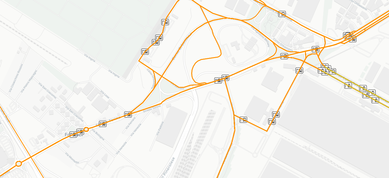
Click a stop icon to open a pop-up window listing the attributes of the stop.
According to the zoom level, a single icon can group two or more "real" stops.
In this case, before showing the list of attributes, a pop-up window opens to allow you to select a specific stop from the list associated with the icon.
It contains the legend of all the public transport stops that may be present on the map - each being associated with a different icon:
-
Bus Line
-
Tram Line
-
Subway Line
-
Train Line
-
Ferry Line
-
Funicular Line
-
Trolleybus Line
-
Other PuT Line
You can therefore recognize each stop by its icon. If a stop is overlapped with other stops, you can zoom in on the map with the mouse wheel to view such stop more clearly.
- Select the layer in the ACTIVE LAYERS list.
- Click the
 List icon.
A pop-up window with a list of items opens. Every item represents a public transport stop which is characterized by a set of attributes.
Other operations are available for the layer (→ Operations on layers).